
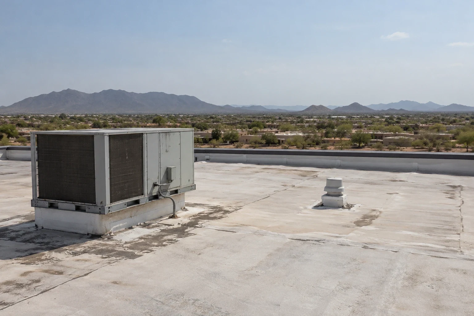
Drone Roof Inspection in Rio Rancho, NM
A roof that is difficult to reach can still be surveyed for visible surface conditions. In Rio Rancho, NM, a drone can help map a broad roof, document equipment clusters, and locate areas that need a closer hands-on visit. The images show what is visible from above; they do not establish membrane adhesion, hidden moisture, or the strength of a seam. We use the flight to orient the roof map, then inspect the suspect details directly. The facility director receives a clear distinction between image observations and tested findings, with a route for follow-up work.
Image Capture and Site Setup
Before flight, we confirm property authorization, access boundaries, active operations, overhead hazards, weather, and any restricted areas. The flight path follows the roof plan and captures overlapping views of field areas, perimeters, drains, rooftop units, skylights, and visible transitions. We label images by roof zone so the facility team can compare them with maintenance records. If access is restricted near equipment or an occupied area, we plan an angle that does not expose private interior activity. The purpose is a usable roof record, not a dramatic aerial image.
Wind, precipitation, and visibility affect whether imagery will be useful. We reschedule if gusts, rain, or poor light compromise control or detail. The drone cannot safely prove a leak source by hovering over a ceiling stain. Instead, we match the building contact’s report to the roof zone and use the images to identify visible candidates such as displaced flashing, ponding, debris, or a damaged edge. A technician then chooses where hands-on access and testing are needed. This sequence keeps the inspection grounded in evidence rather than treating every image contrast as a defect.
What the Images Can Show
Overlapping imagery can reveal visible changes across a large membrane field: debris accumulation, standing water, surface wear, loose items, or a detail that appears displaced. A roof plan with annotated zones helps maintenance staff direct follow-up without guessing which corner an image shows. On facilities with many rooftop units, we can mark access paths and note where additional close inspection is needed. The flight can also create a condition record before a planned repair, helping the owner compare the same area after work. It does not replace the weld probe, moisture test, core cut, or physical review needed for a repair decision.
Rio Rancho’s commercial districts vary in scale and use. Industrial development is located near Northern Boulevard and NM 528; City Center is planned to include education, employment, and commercial functions. A flight plan can be tailored to the roof-zone layout at either type of site, but we do not infer building age or roof material from an aerial view. At the Industrial Park or City Center, the facility contact identifies restricted areas and active equipment before we finalize the capture route.
Hands-On Verification
Images cannot see below a membrane. A dark area may be water, shadow, a coating variation, or a surface patch; moisture testing is needed to determine what the assembly contains. A lifted-looking seam must be checked at the roof, because the angle and light can distort the detail. We mark image observations as candidates for follow-up, then verify the ones that affect scope. If a leak is active, we combine the flight map with a hands-on route to inspect the likely entry point. A full roof inspection can add physical testing and a written condition assessment.
Access and safety remain part of the work. The drone reduces the need to walk some hard-to-reach areas for initial documentation, but it does not eliminate fall protection or roof-entry planning when a detail must be tested. We coordinate with building staff on hatches, escorts, restricted zones, equipment clearance, and any flight approvals needed at the property. If wind or another site condition makes the flight unsuitable, we use a conventional access method or reschedule. The report states which roof areas were imaged and which require a different inspection method.